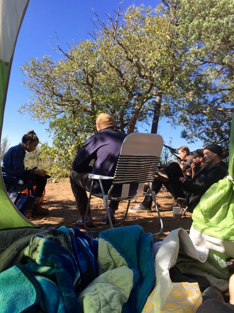
It’s been a minute since I’ve posted a blog…preparing for the little bun in the oven had us quite busy, and truthfully I was less than enthusiastic about being outdoors in the heat running around during the 3rd trimester. Dakota Shea Hansen finally came to us a week late on September 23, 2017 at 1 AM, weighing 6 lbs 14 ounces. Nick and I were actually quite surprised when a tiny little girl was born since both of us had been leaning towards thinking it was a boy all along. It’s been quite the rollercoaster with this little newborn around, but we are so in love and blessed by her in our life!
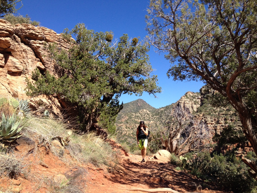
A few weeks down the road, we decided since Dakota seemed to do well with car rides and we wanted to see the fall leaves, why not attempt a day hike trip to Sedona. We also felt cooped up in the house and at 3 1/2 weeks old figured she was ready :) What better hike to target than one we’ve been loving since 2007, the West Fork Trail in Oak Creek Canyon. Thankfully doing this hike during the week was an option, because this is one of Arizona’s “wait in line to see fall” hikes. I’ve already done a blog on this one so I will just repeat that it never disappoints. And that being fed before and after the hike, Dakota was a champ and slept the whole time in our lifesaving wrap. We skipped eating in Sedona to get the little one home, and were very pleased we made the trip!
A few weeks down the road, we decided since Dakota seemed to do well with car rides and we wanted to see the fall leaves, why not attempt a day hike trip to Sedona. We also felt cooped up in the house and at 3 1/2 weeks old figured she was ready :) What better hike to target than one we’ve been loving since 2007, the West Fork Trail in Oak Creek Canyon. Thankfully doing this hike during the week was an option, because this is one of Arizona’s “wait in line to see fall” hikes. I’ve already done a blog on this one so I will just repeat that it never disappoints. And that being fed before and after the hike, Dakota was a champ and slept the whole time in our lifesaving wrap. We skipped eating in Sedona to get the little one home, and were very pleased we made the trip!


 RSS Feed
