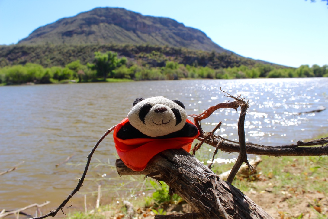
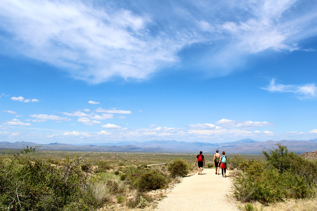
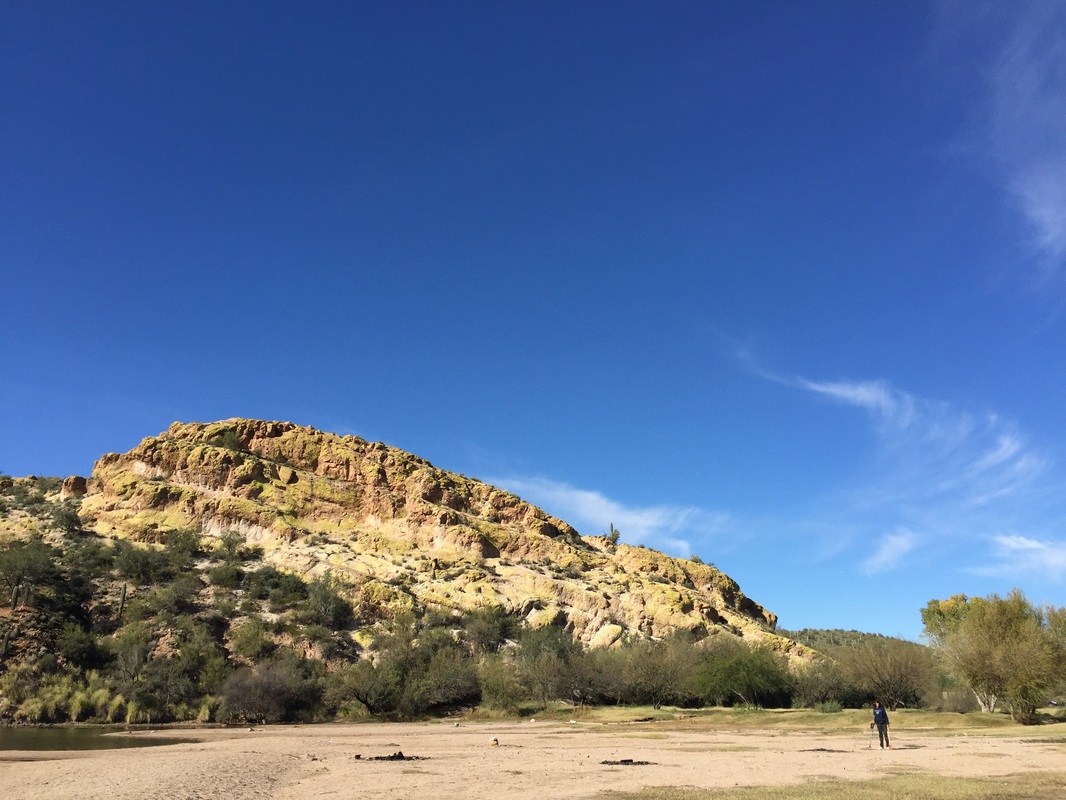
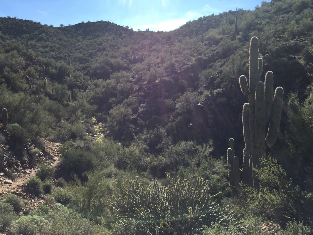
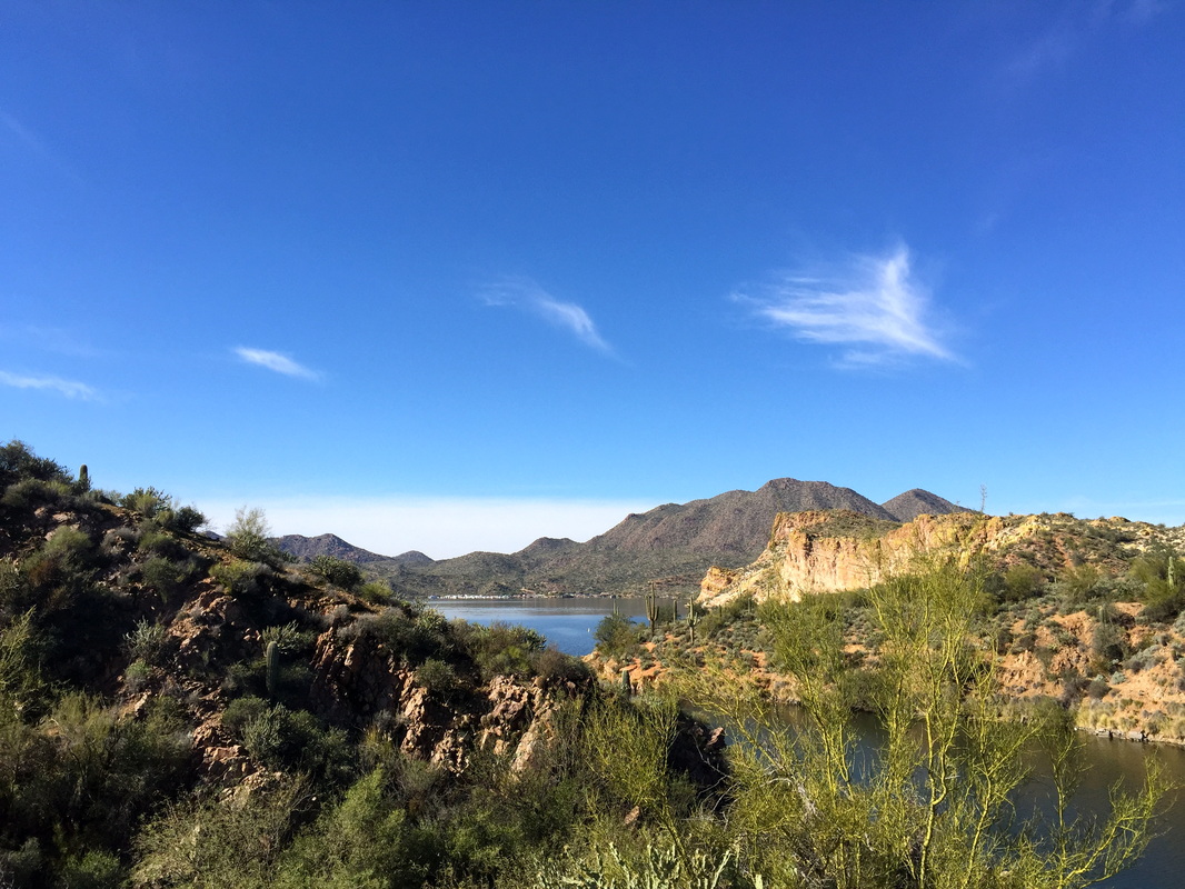
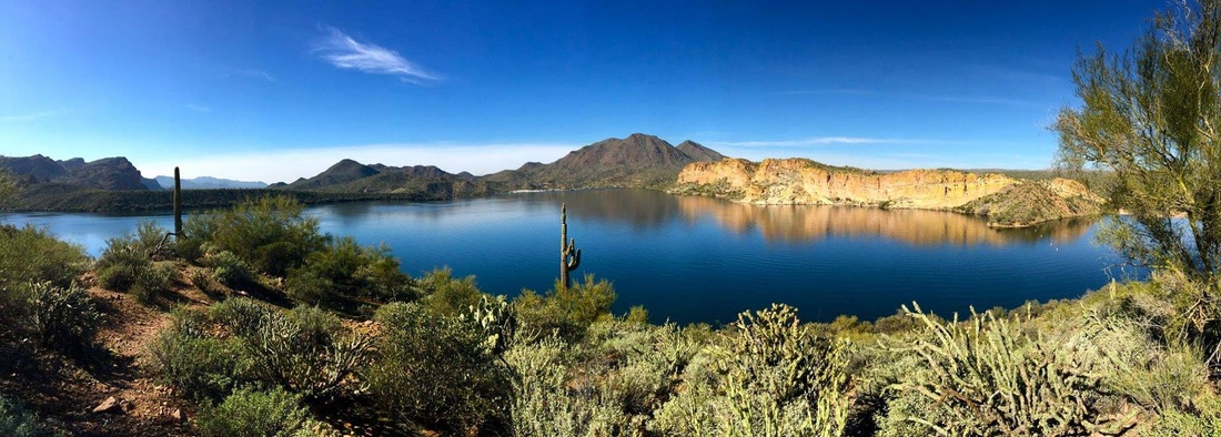
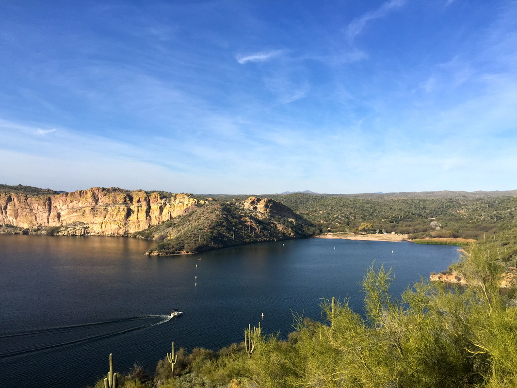
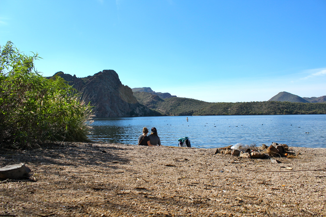
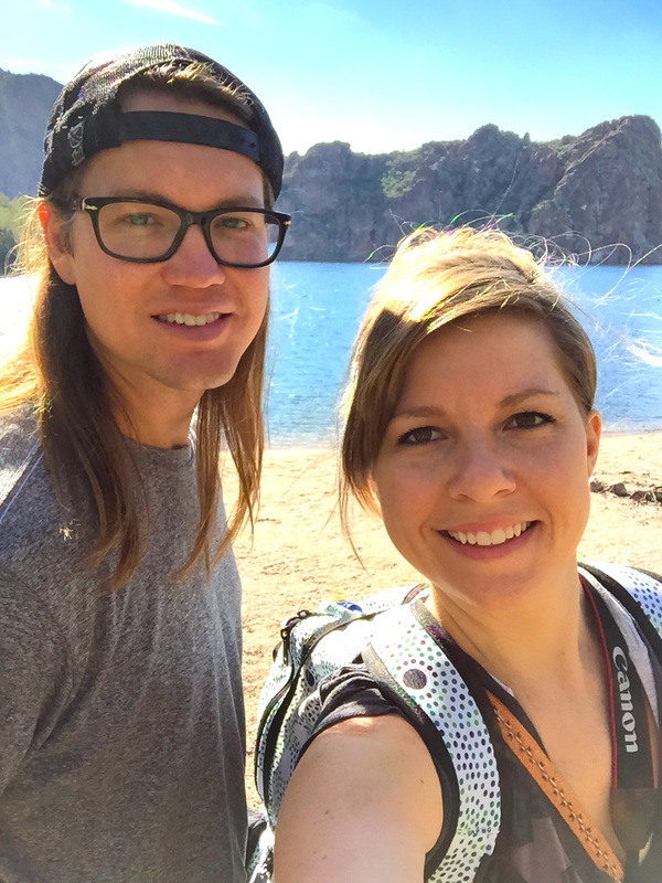
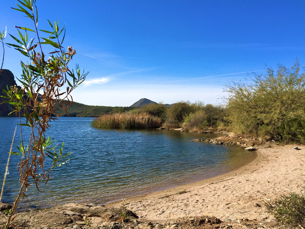
This was one of those impulse trips to take advantage of what seemed to be the last weekend of cool temps in the valley, making any full day hike attempts less fun going forward. Unless you’re one of those people who can get up at 4 am to hike, but we just migrate up north.… So Josh suggested a new spot on the north end of Lake Pleasant, from Table Mesa Road. In all honesty I had avoided the lakes in Phoenix until recently, after realizing that you really can avoid the loud boats and masses/party animals by exploring during the winter months. The spot we found was as secluded as they come, complete with an ideal spot to set up hammocks by the lake. Our attempt to hike up to the India Mesa ruins was made somewhat tricky when we found out there was a bald eagle nest being protected and we’d have to make a huge detour to avoid its vicinity. Even though we ran out of time to make it to the ruins, the hiking we were able to accomplish rewarded us with plenty of spring wildflowers in bloom and a great lookout point of the lovely Lake Pleasant.
0 Comments
I guess we took “avoid the crowds” to an extreme for our Valentine’s date when we rented kayaks and paddled to a remote cove to camp overnight. Last year while hiking Butcher Jones Trail (which winds around the Lake), we talked about returning to camp at one of the shores one day. However, the thought of kayaking was a new idea made possible thanks to Nick’s work loaning him two kayaks. Aside from how rediculous kayaking through the canyons and camping with a view of 4 peaks in the distance was, the most epic part was hopping back in our kayaks and watching the sun set over Saguaro lake. The boats had died down and we pretty much had the lake to ourselves. Up there extremely high on the favorites list!
Tom’s Thumb in North Scottsdale had been on our list for awhile, but I wasn’t expecting we’d have a chance to do it until after summer. Luckily for us Phoenix stayed cool further into May than usual, so we had a chance to squeeze it in during Memorial weekend. Nestled in the McDowell Mountains, the key to this hike is making it to the granite “bump” at the top. What makes this unique to other hikes in the valley is the boulder covered mountainside and rock formations at the top, plus the trail and trailhead area had to have been one of the cleanest I’ve ever seen.
Location: North Scottsdale area, cross streets are about 128th street and Happy Valley. Accessibility/Parking (Volkswagon Golf or Jeep Cherokee): VW Golf, paved parking lot that is pretty spacious. Challenge Level (1: A female in her late 20’s in decent shape thought it was easy as pie to 5: Gonna need a forklift to help me finish this): 3, the hike is 4.2 miles with about a 1000 foot elevation gain. Best Time: Generally Oct-April is probably the best time, unless you can handle the heat. Overall Rating (1: Wouldn’t recommend 2: Bleh 3: Fun but wouldn’t do it again 4: Loved it 5: A favorite, must plan return trip immediately): 4, I enjoyed this in comparison to other hikes in Phoenix. For us it was only about a 30 minute drive and easy to get to, and was not quite as busy as Camelback or Piestawa Peak. When the two month winter period is over, it becomes essential to take advantage of the Phoenix area hikes before the temperatures heat up for summer. I was looking for a break from the office, so Nick and I took Friday off to backpack in the Superstition Wilderness. A few months back, Nick and a few friends stayed at the base of Weaver’s Needle, and he decided to take me to the same spot (the summit or lookout point to Weaver’s Needle is the halfway point to this "secret” campsite). I came in somewhat of a skeptic of desert camping compared to the forest, but I was most certainly proved wrong. The stillness of the night and view of the stars made me an instantaneous fan, Nsync 2001 style.
Location: From the Phoenix area, take US-60 East. After leaving Apache Junction, continue about 8.5 miles, turning left onto signed Peralta Road (FR 77). You will travel about 7 miles by dirt road. Accessibility/Parking (Volkswagon Golf or Jeep Cherokee): VW Golf, the 7 mile dirt road was VERY well maintained. Challenge Level (1: A female in her late 20’s in decent shape thought it was easy as pie to 5: Gonna need a forklift to help me finish this): 3.5, although we did do this with a 30 lb backpack. On the way to the top, it is a continuous climb in elevation. Best Time: Anytime other than summer, temperatures are very similar to Phoenix. Overall Rating (1: Wouldn’t recommend 2: Bleh 3: Fun but wouldn’t do it again 4: Loved it 5: A favorite, must plan return trip immediately): 5, would love to do a repeat or try other trails in the area. Never assume the weather at the top of a mountain is the same as the city nearby. Which is exactly what Nick and I did when we showed up to the Brown’s Peak trailhead dressed for a Phoenix daytime hike, only to find….snow. While our lack of preparation made for a cold, at times uncomfortable hike, the snow and low clouds at the top of the mountain created a completely unique experience. During the final climb up “the chute", the melting snow had produced loose, wet gravel and unfortunately it prevented me from being able to get to the top. Nick and Matt (and Pander) were apparently less worried about breaking a limb, and did summit.
Location: Drive in from the West side-Beeline Highway (AZ-88) to Tonto Forest Road 143, or Drive in from the East side-From Route AZ-188 near Roosevelt Lake. We drove in from the West side and out from the East side. Accessibility/Parking (Volkswagon Golf or Jeep Cherokee): Driving in from the West side (Road 143)-Jeep Cherokee, this is a pretty rough one. At least 20 miles of a rocky dirt road that climbs quite a bit in elevation. Driving in from the East Side-VW Golf, about 10 miles of dirt road and not as rough. Goes opposite direction from Phoenix but makes for a more pleasant ride. Challenge Level (1: A female in her late 20's in decent shape thought it was easy as pie to 5: Gonna need a forklift to help me finish this): 5 if you summit Brown's Peak. The chute to the top is very steep and you have to hang on to loose rocks to get to the top. Best Time: Winter was a cool experience, but the melting snow made it difficult to get to the top. Summer could potentially be warm. Overall Rating (1: Wouldn’t recommend 2: Bleh 3: Fun but wouldn’t do it again 4: Loved it 5: A favorite, must plan return trip immediately): 5, I would like to make it to the top next time with better weather. One of Nick's favorite camping spots in Arizona is Seven Springs, east of Cave Creek, Arizona. Our close friend Ben who passed away had brought him there for his first time, and Nick has been back several times since with different groups of people. This time in particular was going to be special as well, with his cousin Zak in town from Hawaii, and his sister Janelle also in Phoenix for Christmas. We piled up in Preston's SUV and spent a fun day hiking and eating dinner at Big Earl's in Cave Creek. Oh and we found a baby mouse that was hard to leave.
Location: From Carefree, take Cave Creek Road/ForestRoad (FR) 24 for 20 miles north to Seven Springs. Accessibility/Parking (Volkswagon Golf or Jeep Cherokee): The last 9 miles of FR 24 is a gravel road, however a VW Golf could make it on this road. Challenge Level (1: A female in her late 20's in decent shape thought it was easy as pie to 5: Gonna need a forklift to help me finish this): 2, a moderate hike with little elevation gain. Best Time: Anytime, outside of the warm summer months. Overall Rating (1: Wouldn't recommend 2: Bleh 3: Fun but wouldn't do it again 4: Loved it 5: A favorite, must plan return trip immediately): 5, we have both been back multiple times. You get the best of both worlds, the woods meets the desert, and parts of the trail with the creek look similar to northern Sedona. Many of our ideas for new places to explore come from Instragam’s featured photos on Arizona_Hiking and InstragramAZ One particular day, the “photo of the day” was Saguaro Lake, so I planned to surprise Nick and take him there for some quiet time before the hustle and bustle of Christmas. Butcher Jones trail goes right along the lake, and we even stumbled upon a few “beaches" off the trail. Perfect place to relax and have a picnic, and even camp.
Location: Off State Route 87, about halfway between Phoenix, Arizona, and the ghost town, Sunflower. Accessibility/Parking (Volkswagon Golf or Jeep Cherokee): VW Golf, and don't forget to pre-purchase a Tonto National Forest pass. You can't buy one there and could be fined without one. I purchased ours online and printed the pass at home. Challenge Level (1: A female in her late 20's in decent shape thought it was easy as pie to 5: Gonna need a forklift to help me finish this): 2, a moderate hike with little elevation gain. Best Time: For hiking the winter months are best. There were very few people out on the lake and the weather was perfect. Overall Rating (1: Wouldn’t recommend 2: Bleh 3: Fun but wouldn't do it again 4: Loved it 5: A favorite, must plan return trip immediately): 5, I would love to come back and camp out on the beach that we found. |
Categories
All
Archives
October 2017
AuthorAmber Hansen |